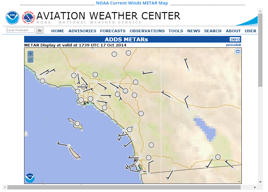
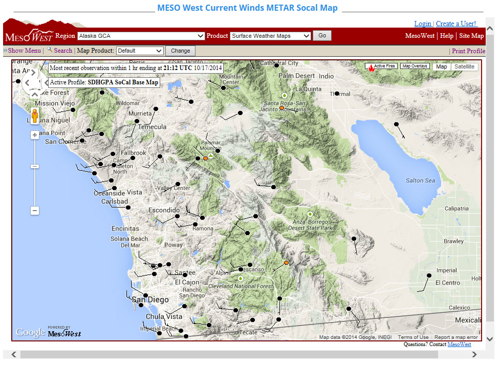
This was done due to the WX underground map starting to contain video ad feeds that were just too high in band width and the large ad window not being movable or collapsible for non subscribers. Note that the Socal Snapshot page has not been updated yet.
Another added benefit, is that all of the NOAA METARs are in clean air and representative of actual conditions with-out second guessing the validity of WX underground data.
The two are the NOAA Aviation Center Product and the MesoWest Product. The profile displayed contains only stations in cleaner air vs all shared network stations. Both maps look best when displayed full screen in the frame or menus hidden.
Let us know what product you like, and we will remove
If anyone has other better Live conditions METAR Map solutions they like, please let us know, and we will test that out as well.


 RSS Feed

