|
Click on Binocular icon, then view photos for near live webcam views. Photo # corresponds to camera direction.
|
|


Horse

Laguna & XC Routes


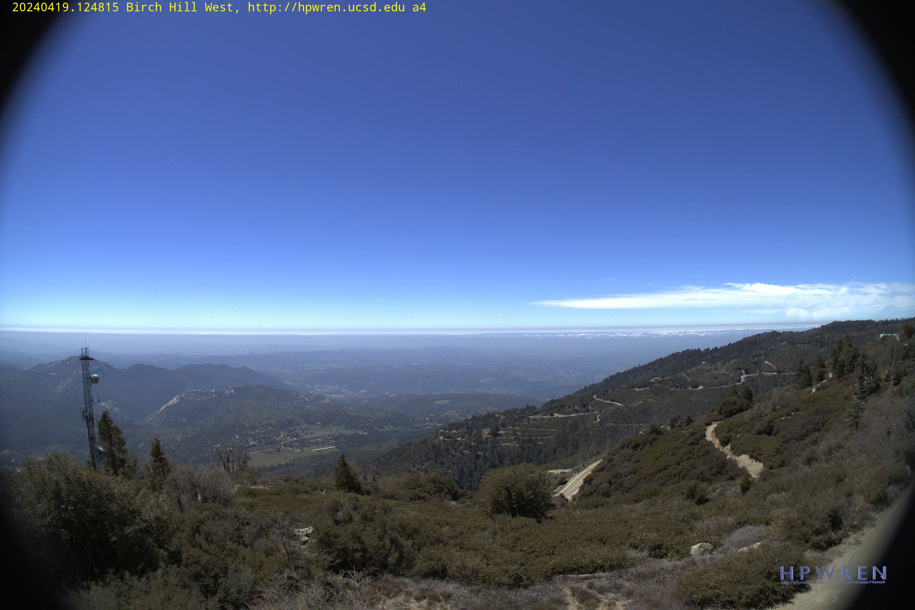
Palomar High Point

|
|
Click on Binocular icon, then view photos for near live webcam views. Photo # corresponds to camera direction.
|
|
|
SDHGPA, PO Box 720895, SAN DIEGO, CA 92172
|