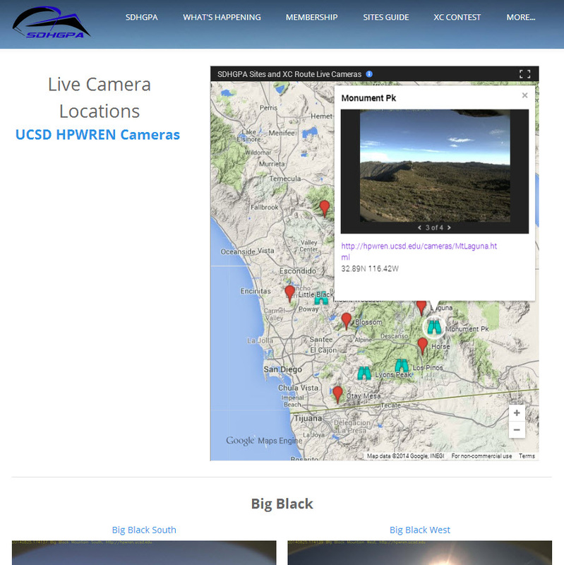
| SDHGPA Site & XC Route Live Cameras page This is essentially a new interface to the HPWREN project cameras and others to make them easier to view and know where they are in relationship to our sites. At the top is an interactive map were, you can scroll through the 360 deg tower images if you like and a link to the camera tower page. View the interactive map on the page, or you can expand the map to full screen. Then scrolling down the page is a round up of the most recent live images. These are grouped to views useful to specific sites. Links to the original Camera pages is also provided to view images full page in higher resolution. Note that most of the images will be black if viewed at night unless there are city lights in view. |
Let us know what you like and dislike about the page so that we can fine tune it to how people use it.


 RSS Feed

