
May 9th 2015 Flight Report by Steve Rohrbaugh
|
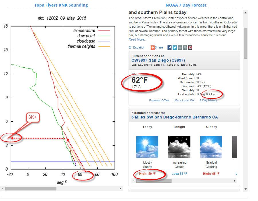
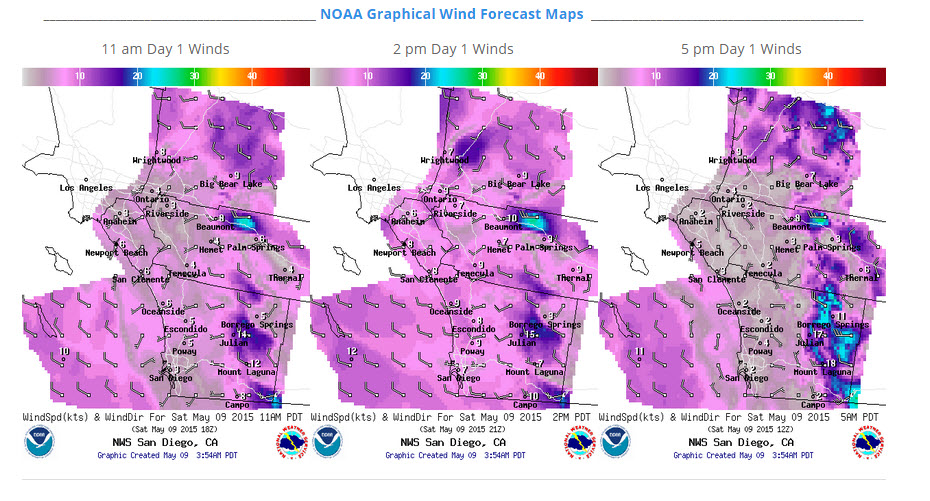
This past Saturday conditions looked to be setting up perfectly for an attempt at flying XC from Little Black. Forecast for the day indicated a possibility of being another record day if the conditions cooperated and all the stars aligned just right.
From past flight attempts along this route, the hardest part of this route is making the transition out of the San Pasqual Valley. But getting to San Pasqual Valley is a great beautiful 12 mile XC flight all in it's own! |
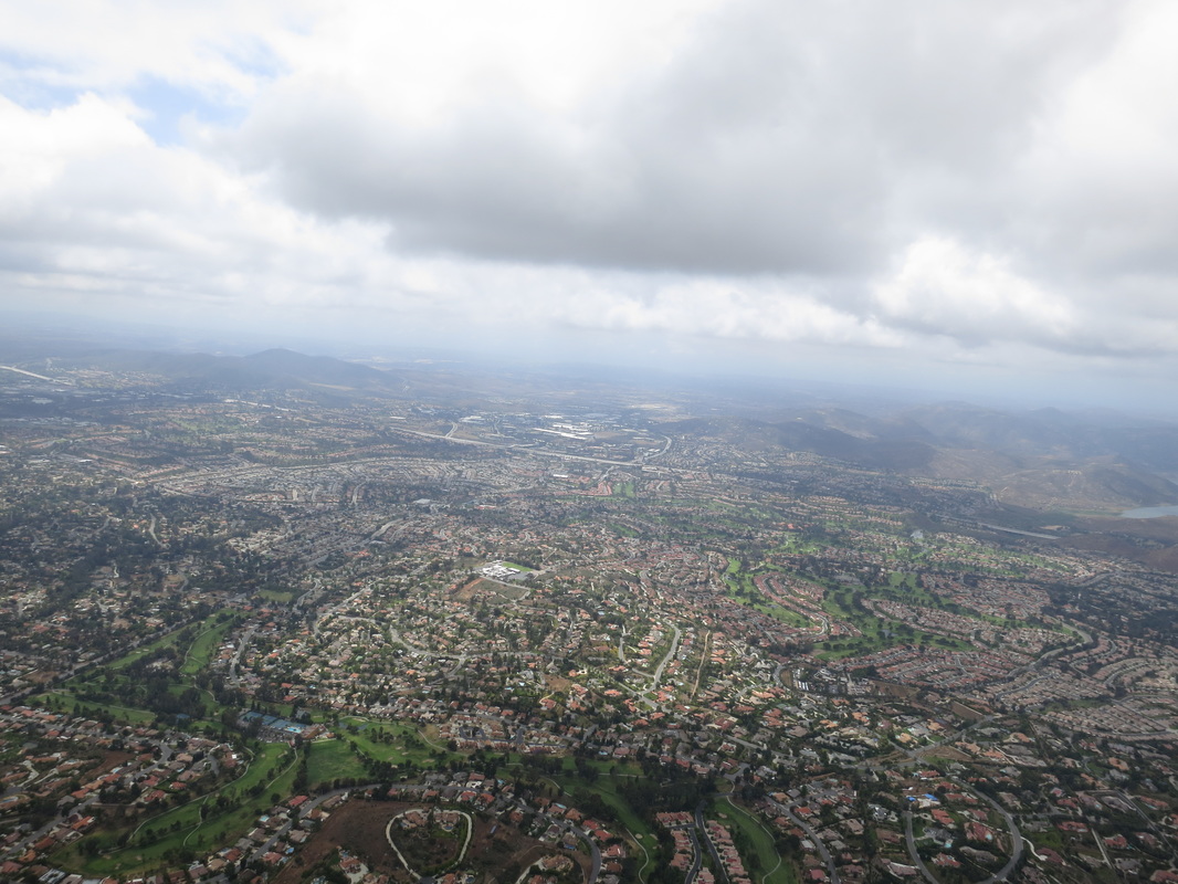
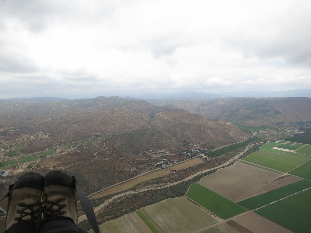
Stoneridge Country Club golf course from 3.3k at cloud base looking back to LB.
|
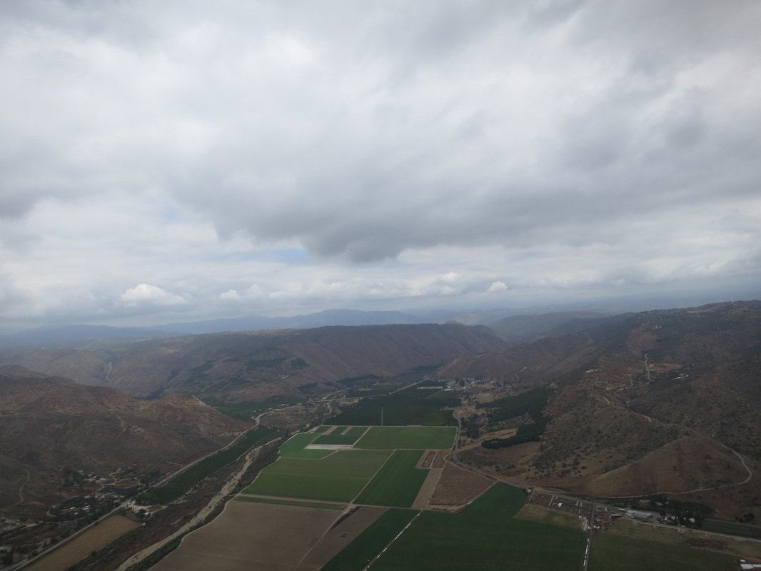
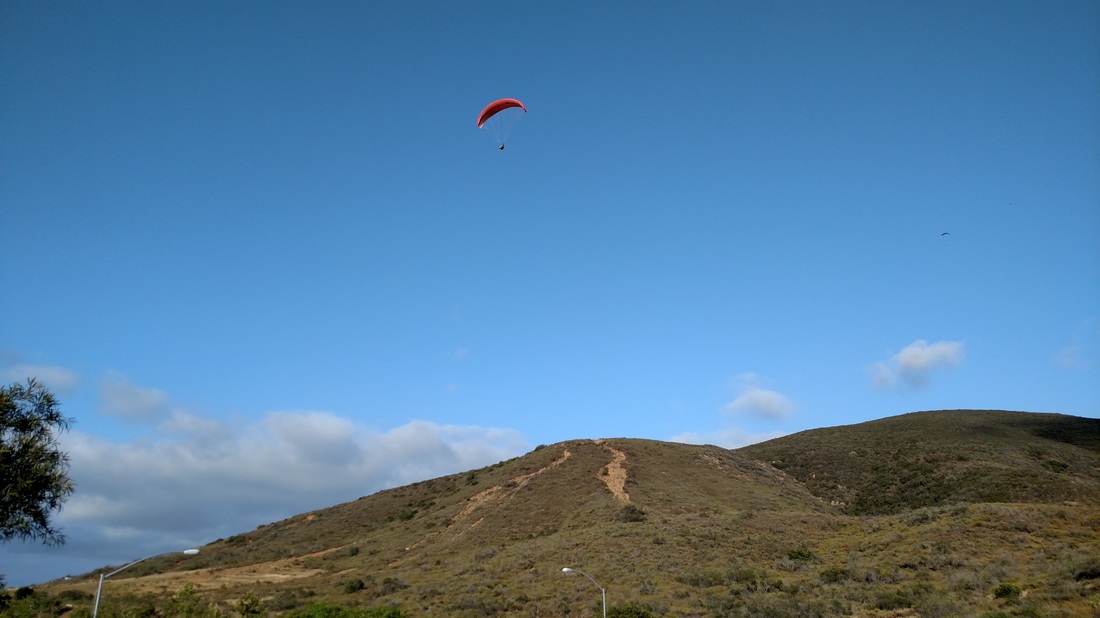
Little Black to San Pasqual Valley : 5-19-2015
|
As it tuned out, the expected post frontal conditions were playing hide and seek at Little Black . . . and were a bit more elusive then predicted.
I arrived around 11 and conditions were already on and pulsating between partially sunny to fully clouded over. Gate was locked due to it raining for the prior 1.5 days, so there were some hanging out there. (When the gate is locked, the the Park is still open. However the Rangers prefer for us to park over in the Ball Field Parking lot and hike over vs blocking / partially blocking the locked gate. They like the Road to dry out for a couple of days after a rain prior to unlocking the gate for vehicles.) Conditions early looked good to 3k if your could work the small thermals before it turned to solid overcast. Early, there were many sun patches allowing for small growing clouds to form with bases around 2-3k indicating the lift was there and it was working. By the time we got up on launch, lots of the open sky had filled back in. The early lift eluded many that launched shortly after as the clouds thickened back up completely shading out the early heating. The key to climbing out at Little Black was working the effective SW faces to match the prevailing SW winds. This combined with turning tight enough to grab and stay in the small tight thermals in a complete 360 once having the ground clearance. By doing so, I managed a nice 12 mile OTB XC to San Pasquale Valley before running out of sun by tracking and flying from sun spot thermal to sun spot thermal along my selected route. For the most part, I was able to stay ahead of the completely shaded over areas until San Pasqual Valley. |
|


The Thermal by Thermal
|
The 1st good thermal and climb out of Little Black was out in front along the SW spine of the 800. This took me to 3k and drifted with that back behind the towers. This was feeding a cloud that had a higher base then clouds on each side of it just to the West and East. This took me to 3.5k 1/2 way back to the 15 were the airspace steps up.
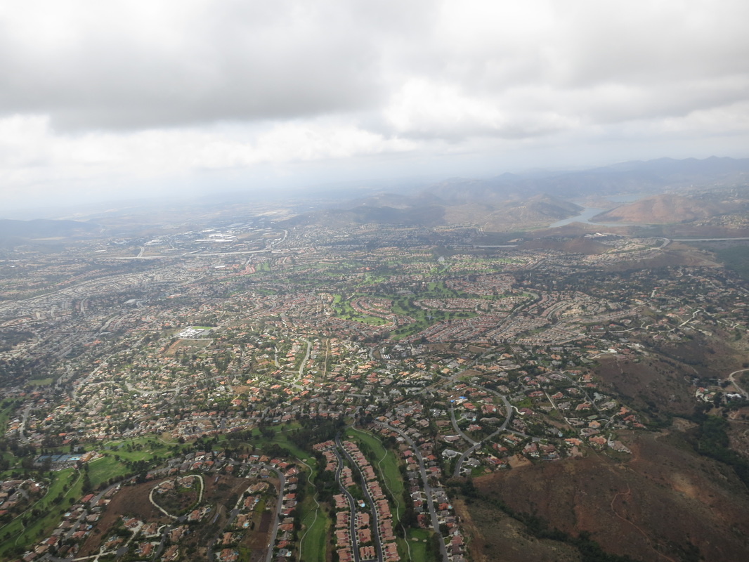
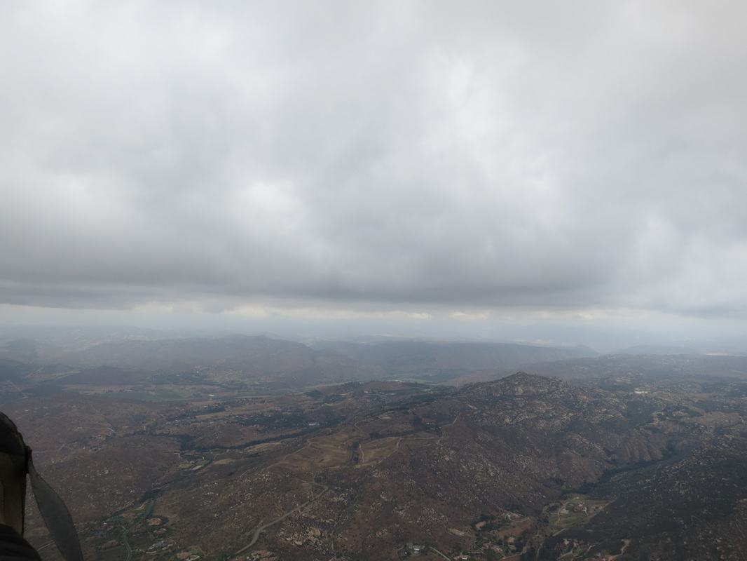
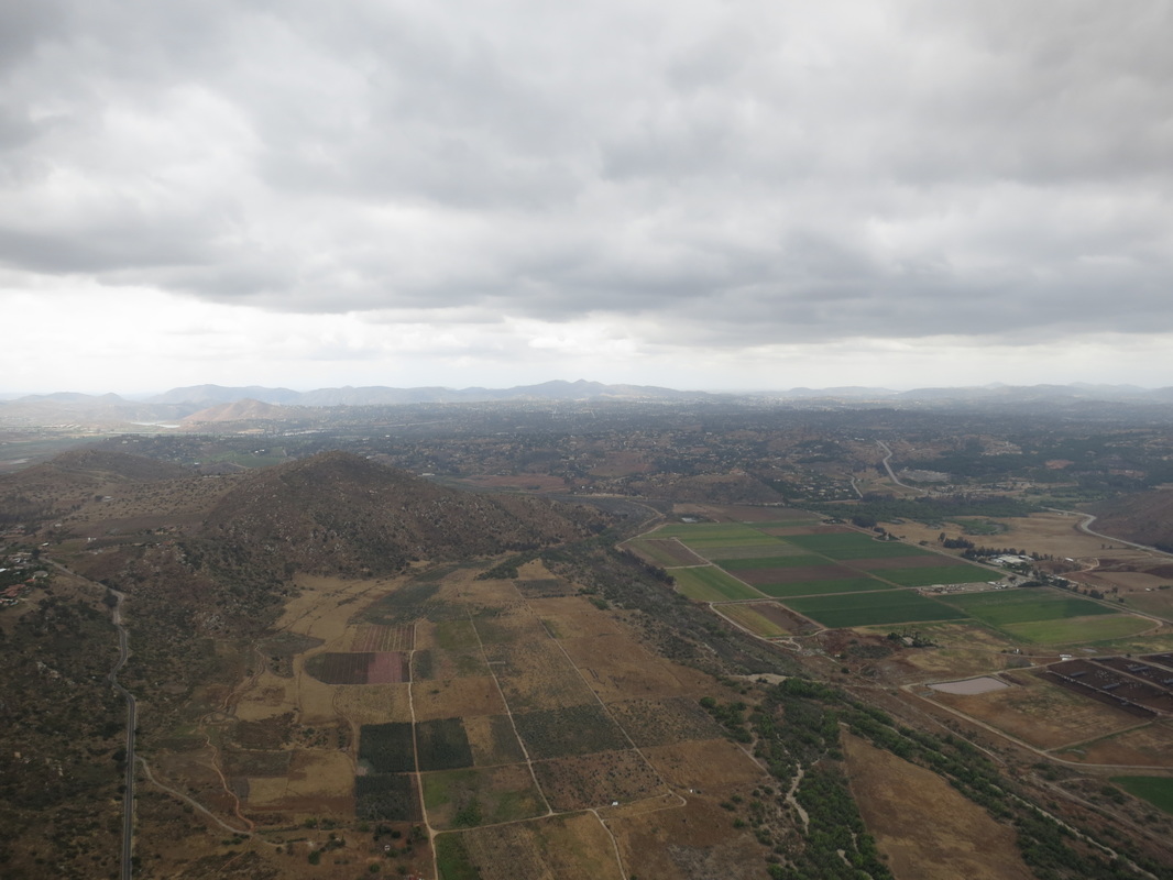
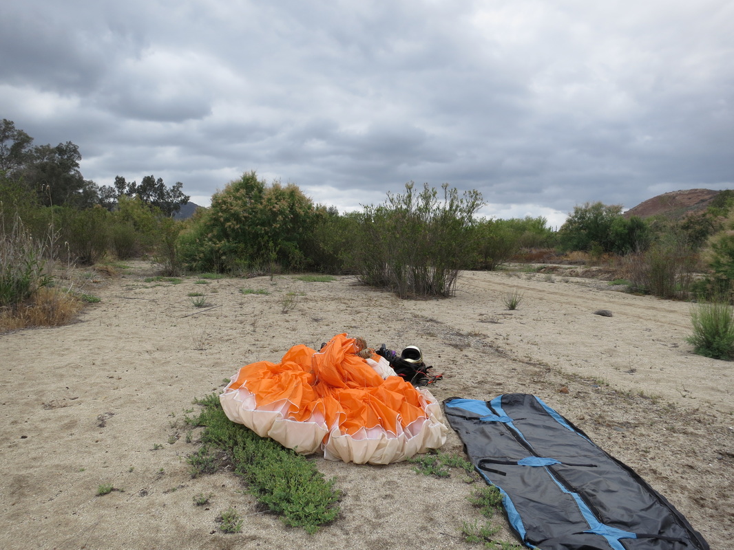
There was significant sink on the back side of Little Black and I jumped onto 3/4 speed bar until well past the 15. At that point I was on glide for Landing at the Rancho Bernardo HS or Bernardo Heights Country Club. In route, just over Camino Del Norte at 2k msl, I picked up another solid thermal and took that back up to cloud base at 3.5k. That 1st thermal always sets the pace for the day in this flatland flying segment. From there, went on glide toward Stoneridge Country Club golf course and Starvation Mt while working slightly more north / cross wind to allow for thermal tracking drift further down the route. This would buy me some margin without worrying about being pined up against the Ramona Airspace later. Once again at ~ 2k I found another nice thermal to 3.3k over Old Coach Rd. Then again on a cross wind glide vectoring for the Wild Animal Park. The next thermal was on the West spine of Starvation Mt. This was a nice but week thermal with significant drift. If it were not for having to stay clear of the Ramona Air Space, I would have stuck with that thermal as it was drifting toward a nice large sunny area on the north side of Ramona back near and well past Charlie's house. Problem is, that area is right smack in the Air Space on the north side of the airport. That thermal did however give me enough at 2.6k to comfortably enter into the San Pasqual Valley without rotor concerns and enough left over for a stress free glide to the Northern side of the Valley. Once there in the Valley I was about 1-2 miles West and behind the sun patches. This left me with no heating or workable lift beyond a buoyant glide down the valley's north ridge line. There was also no effective ridge lift along the North side of the valley were I was expecting there to be lift along the west facing features due to relatively weak prevailing W winds. Without getting any lift along the way and realizing the winds were very light for any type of sustained ridge lift, I could not safely make the next jump over some power lines and onto the west facing side valley. I landed in the Sana Ysabel Creek Wash at the 78 crossing bridge. Just as I was landing, I was greeted with a few spits of rain that fortunately did not mount to much more then a few drops. |
Last 1/2 of flight glide segments Video
Flight Stats:
Linear distance 12.0 mi (11.0 mph) Max Distance 12.6 mi (11.6 mph) XC Distance 14.1 mi (12.9 mph) Duration 1:05:22 Max alt (ASL) 3522 ft Min alt (ASL) 419 ft Takeoff alt (ASL) 1164 ft Altitude gain 2358 ft Max speed 37.3 mph Mean speed 16.9 mph
Big thanks to Dmitri for the retrieve!
|
Track Log for the Day and the North XC Route out of Little Black
|
This route requires Flat Land thermaling skills and glide ratio judgment while threading available safe landing options. To add to the challenge, This route also typically requires cross wind glides to get around the Ramona Air Space.
Notice West thermal drift in comparison to NE glides on this most recent flight. This route is easier with a SW tail wind, but still usually requires cross wind work to the north. The benefit of this North route is that it avoids Miramar approach Air Space ceilings to the south. |
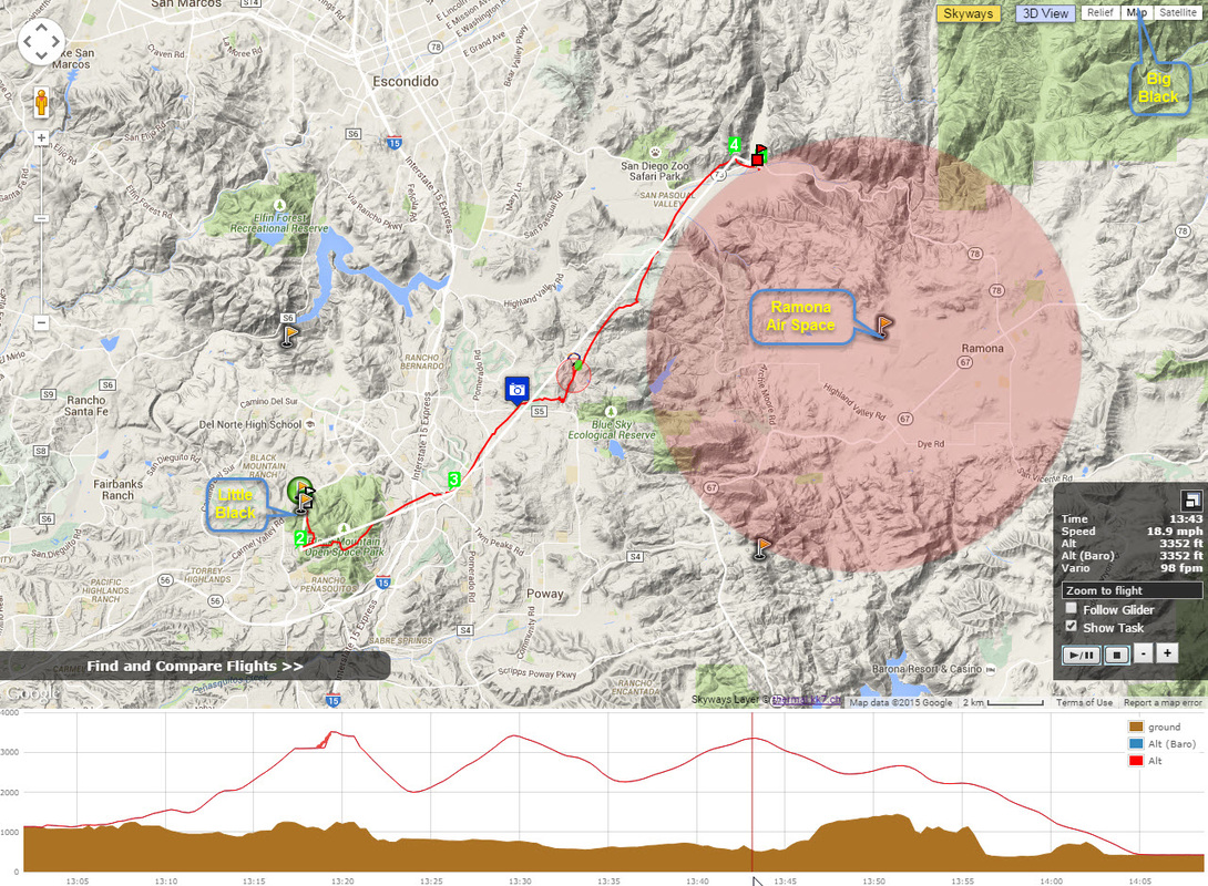
5-9-15 Flight Track w/ Ramona Air Space Overlay
|
Some other Notable flights along this route making it to the San Pasqual Valley from Little Black with similar lines: http://www.paraglidingforum.com/leonardo/compare/1155133,831460,518775,315702,867622
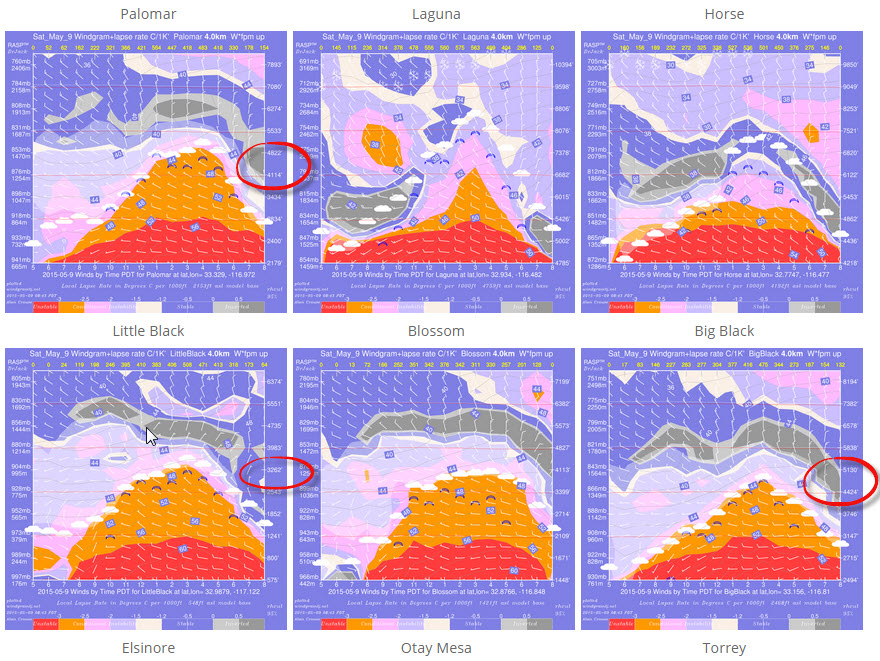
Conditions we are looking for to Fly XC from Little Black:
Screen Shots of 5-9-15 & Using theFlight Prediction tools on the SDHGPA WX Dashboard
|
Those that flew Little Black later in the day or re-hiked up were well rewarded with flights lasting till sunset with altitudes to 2k late in the day.
|
Fred & Joseph Enjoying the Late Evening Glass-off Into the Sunset.
|

 RSS Feed