
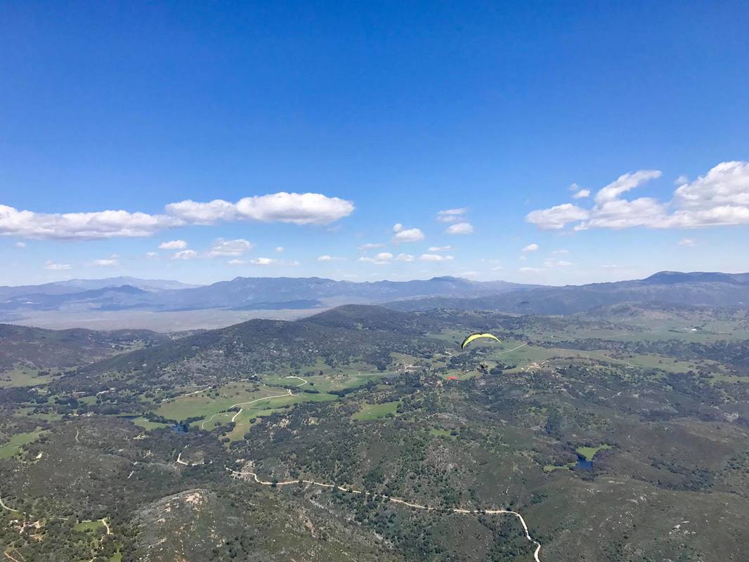
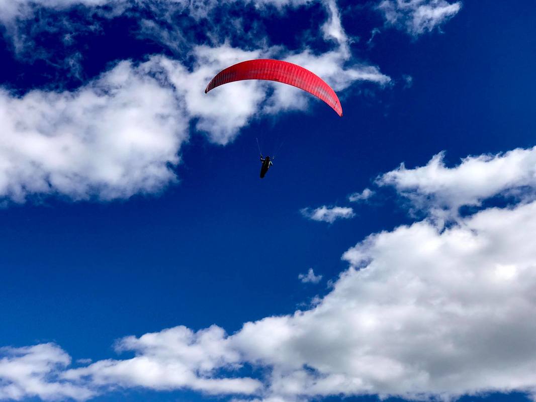
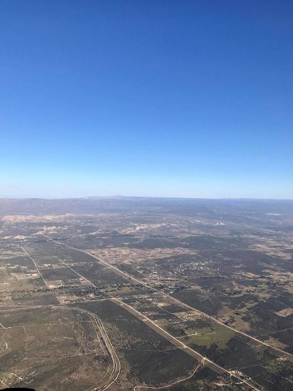
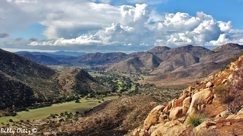
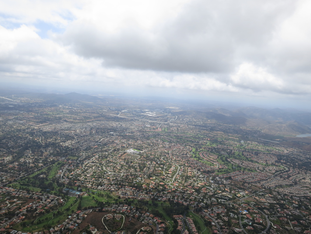
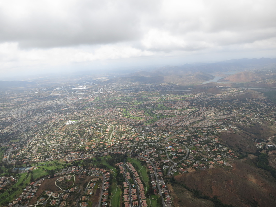
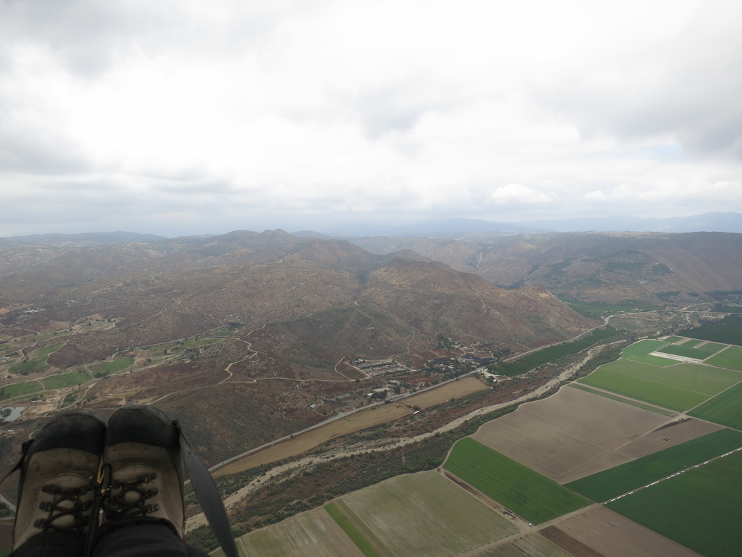
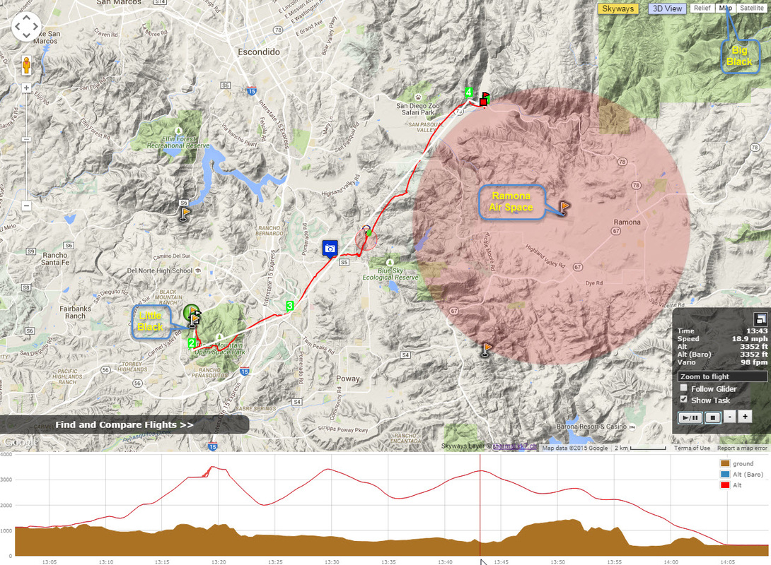
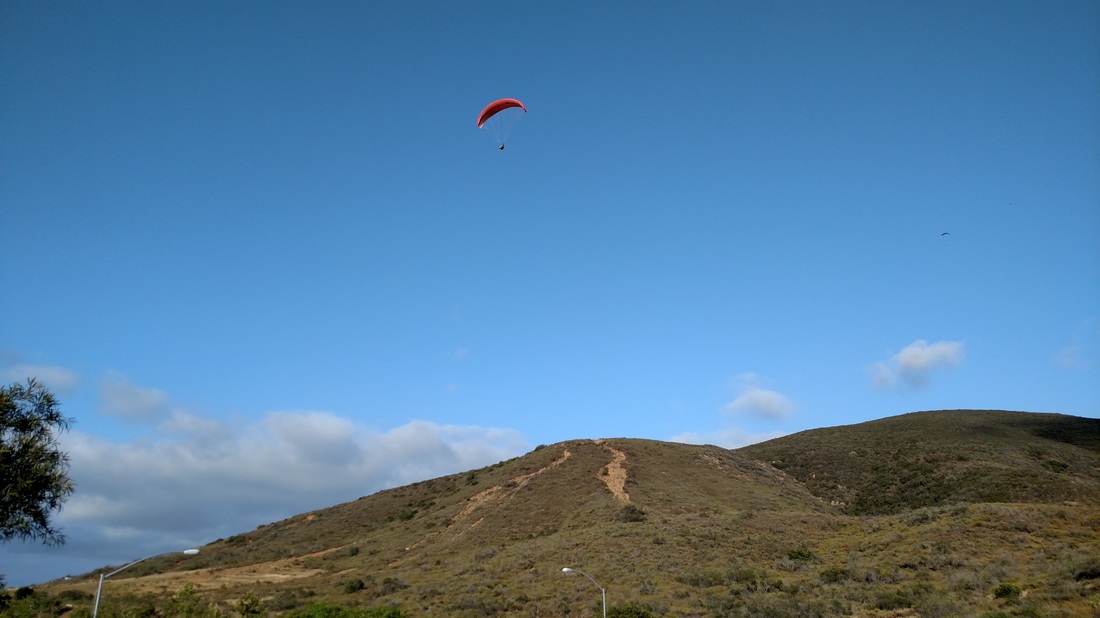
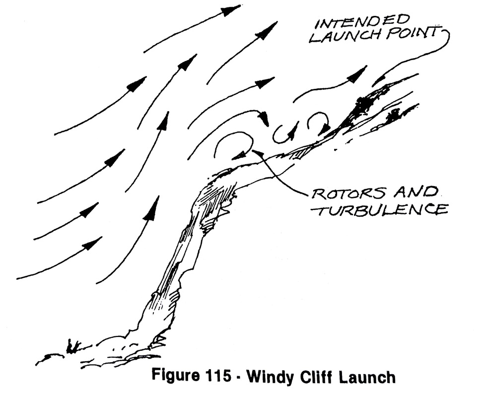
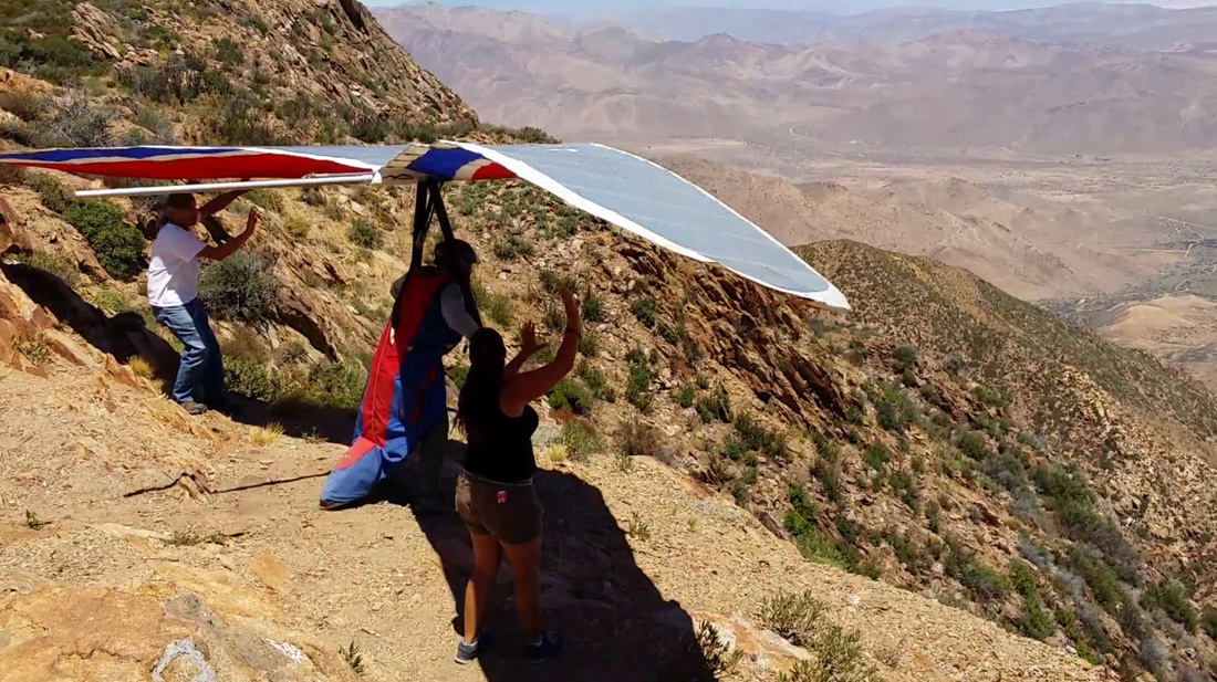
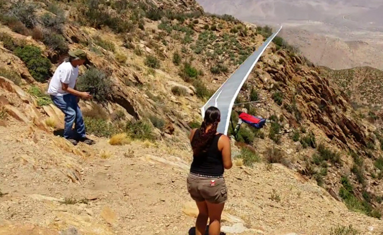
On multiple occasions with this past Sunday being the most recent, pilots flying into rotor and possible venturi locations have been observed. All should be reminded that Palomar is a complex mountain site and all should review the Soaring notes of the Palomar Site Guide and also Review the Flying Effective Faces article pulled from our XC clinic talks.
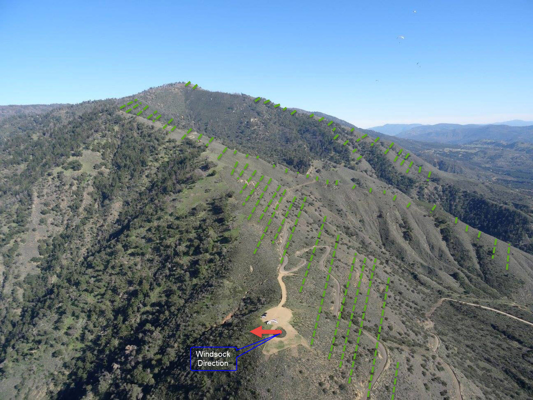
Palomar is a complex mountain site
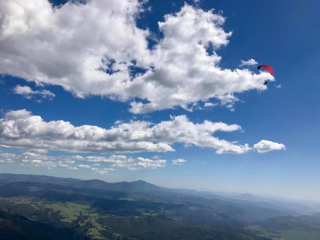
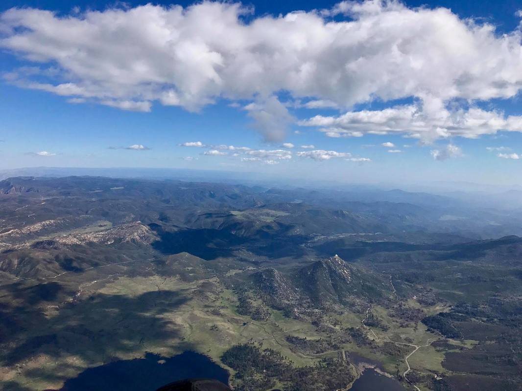
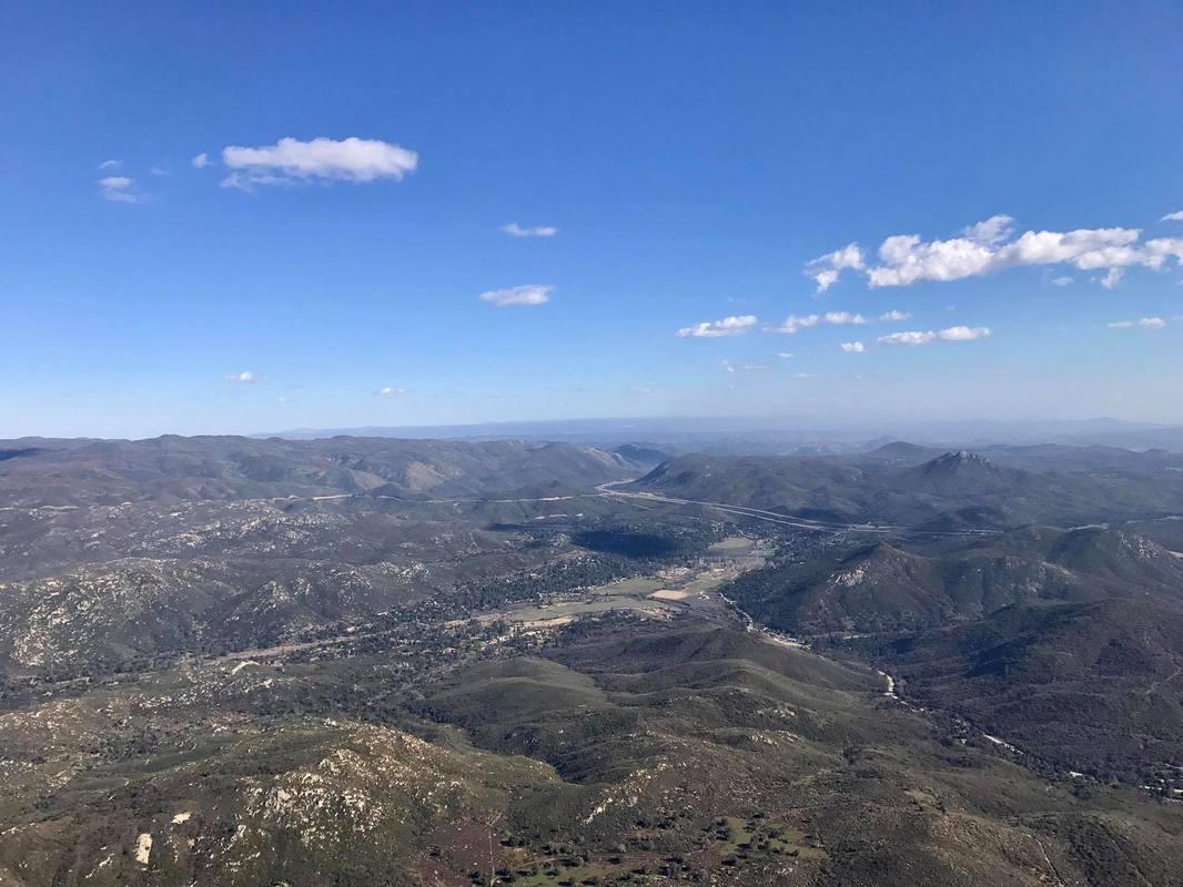
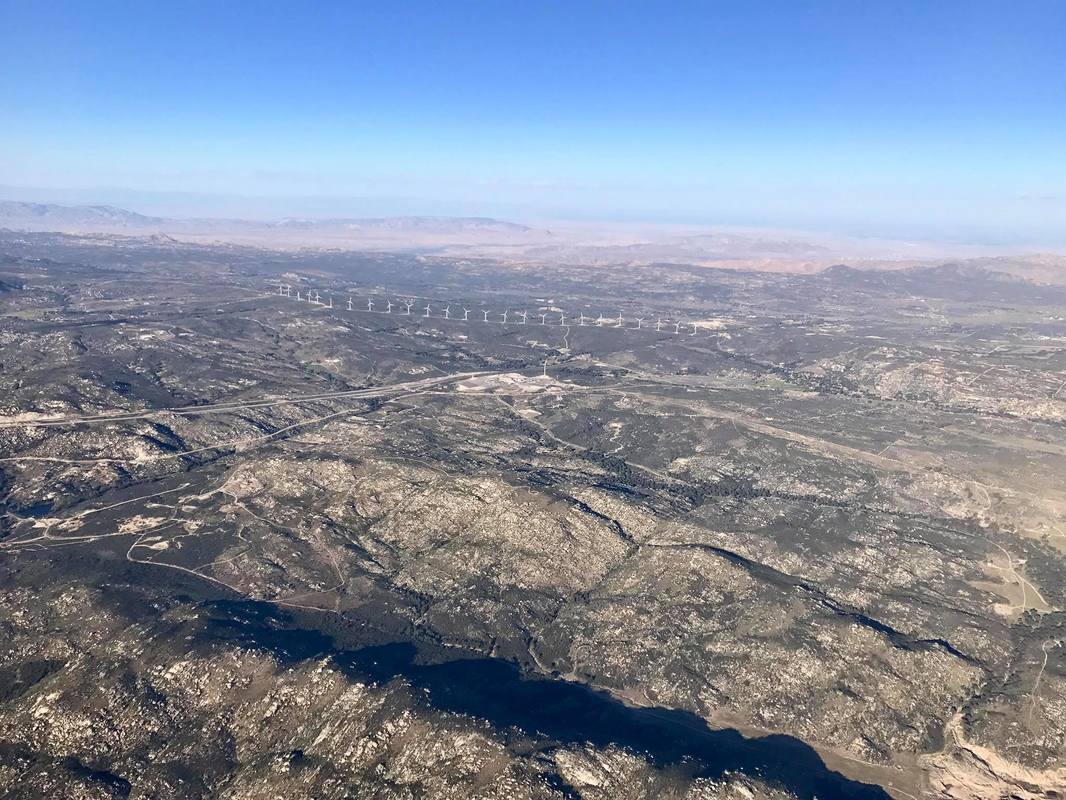
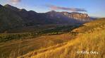
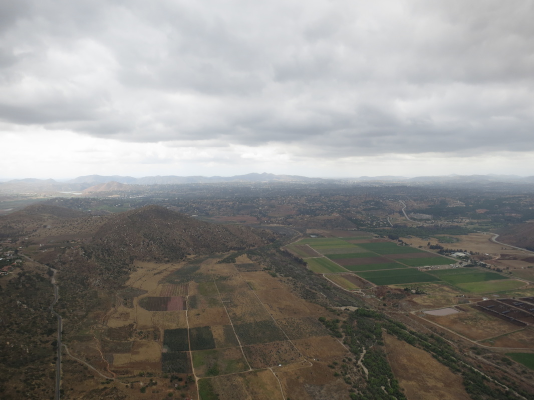
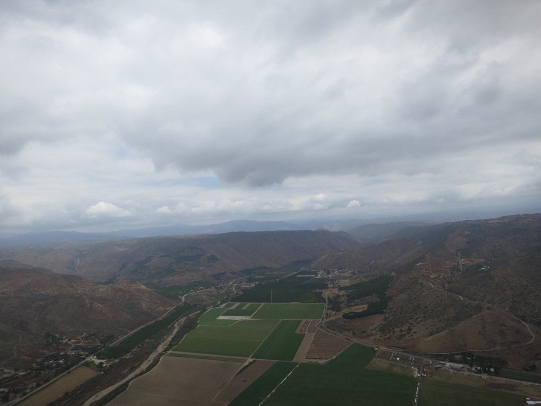
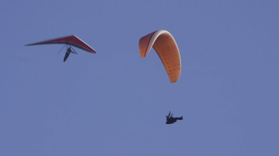
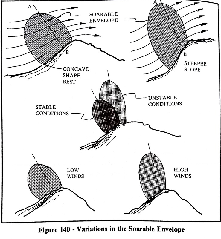
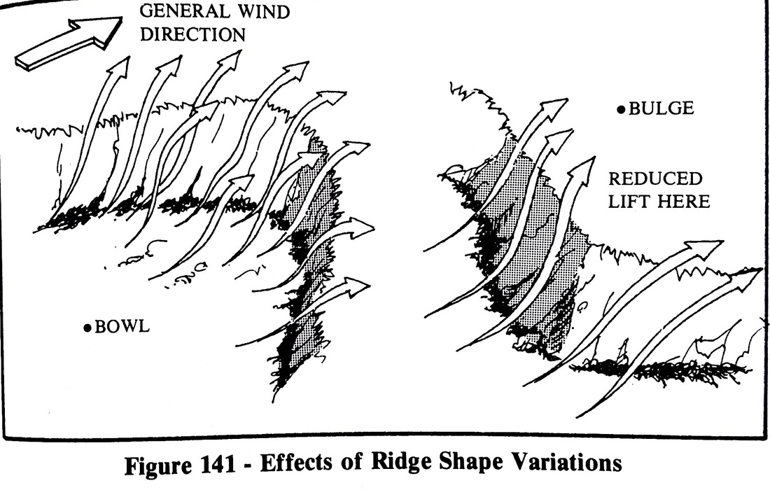
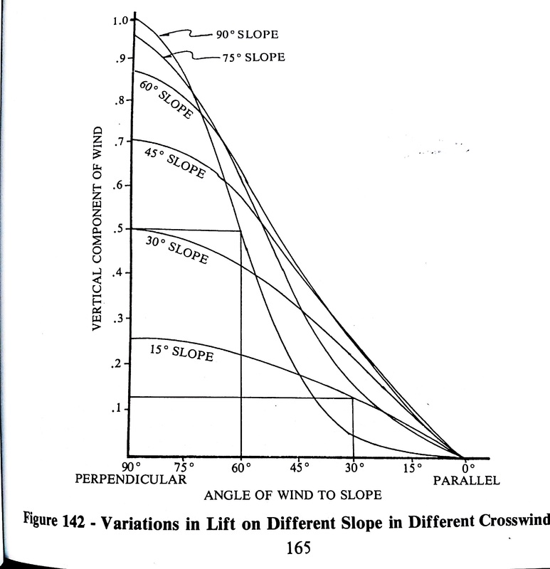
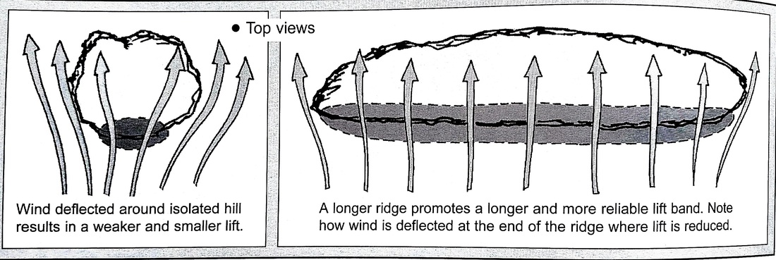
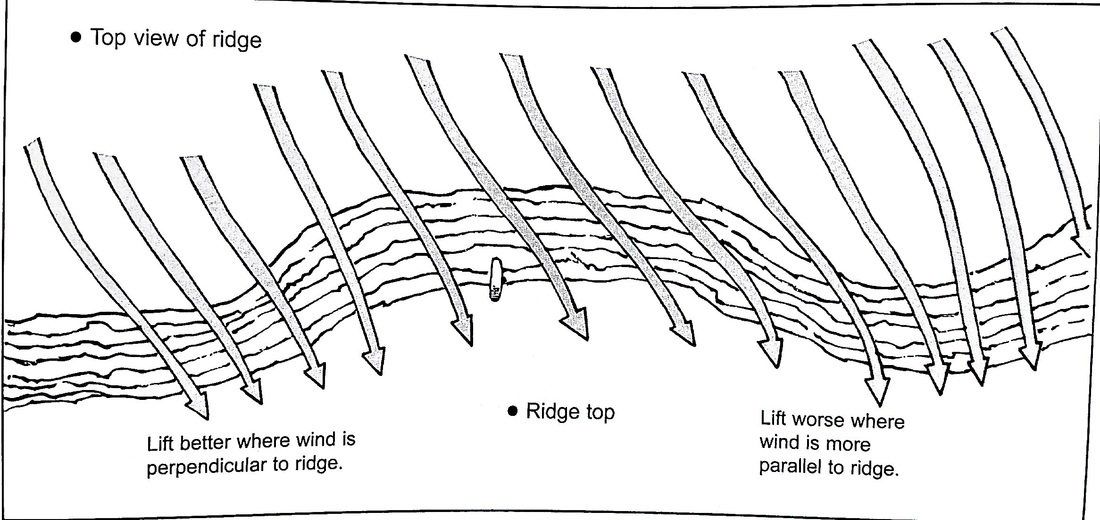
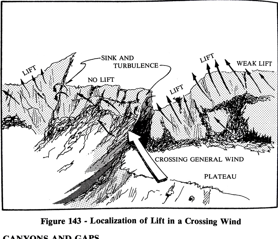
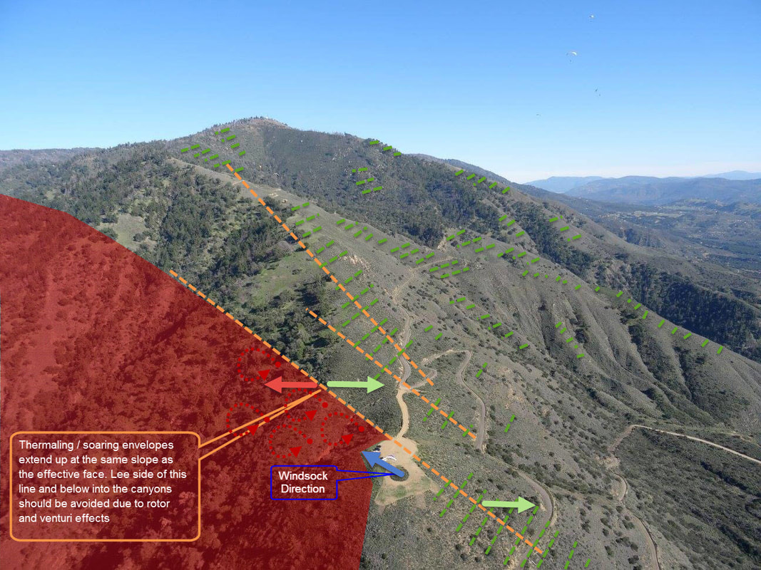
Fly effective faces that are perpendicular to the prevailing wind conditions. Note that on light and variable wind pure thermal days, the effective faces can be constantly changing and influenced by thermal activity. i.e. If the prevailing winds are west, trying to ridge fly the big south face or into the canyons will not be productive and can be turbulent. See Article on Flying Effective Faces and scroll through Palomar examples for different wind directions. Also Note that winds and effective faces will shift to thermal activity and geographic location / topography influences.


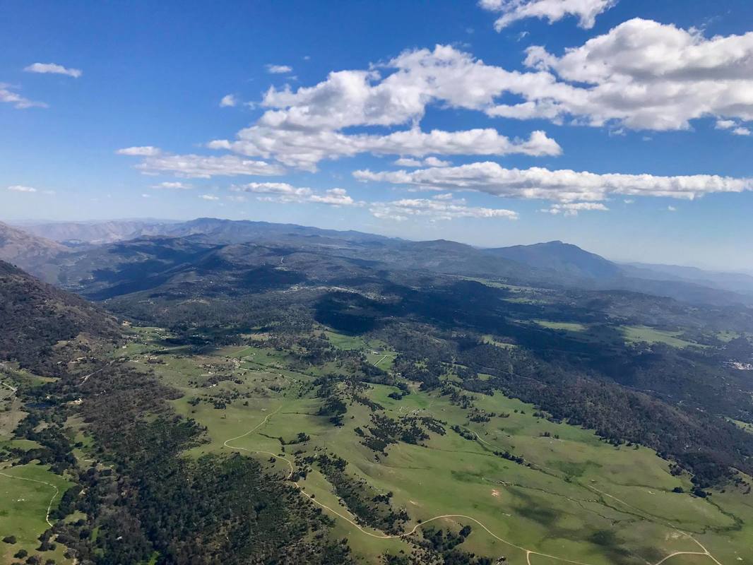
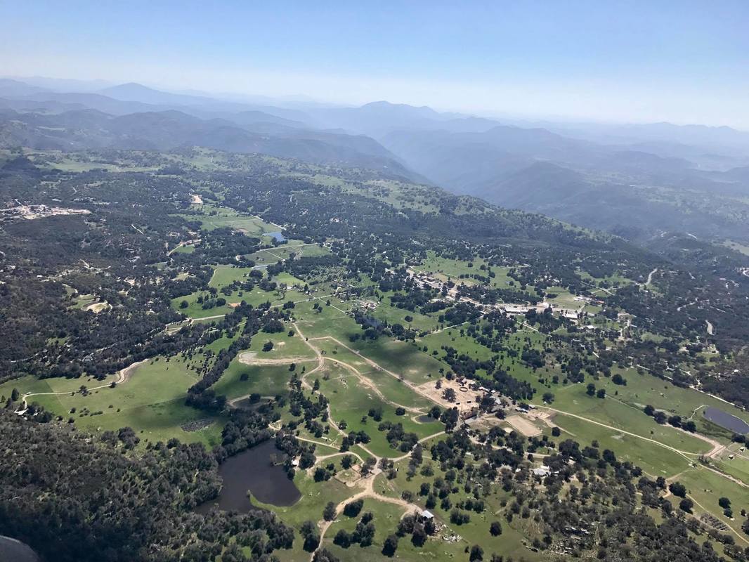
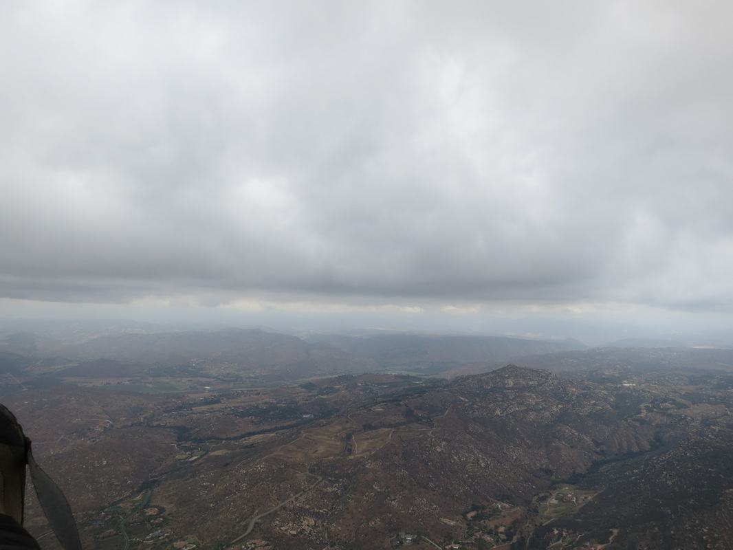
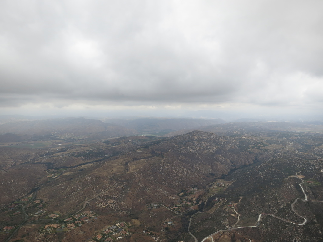
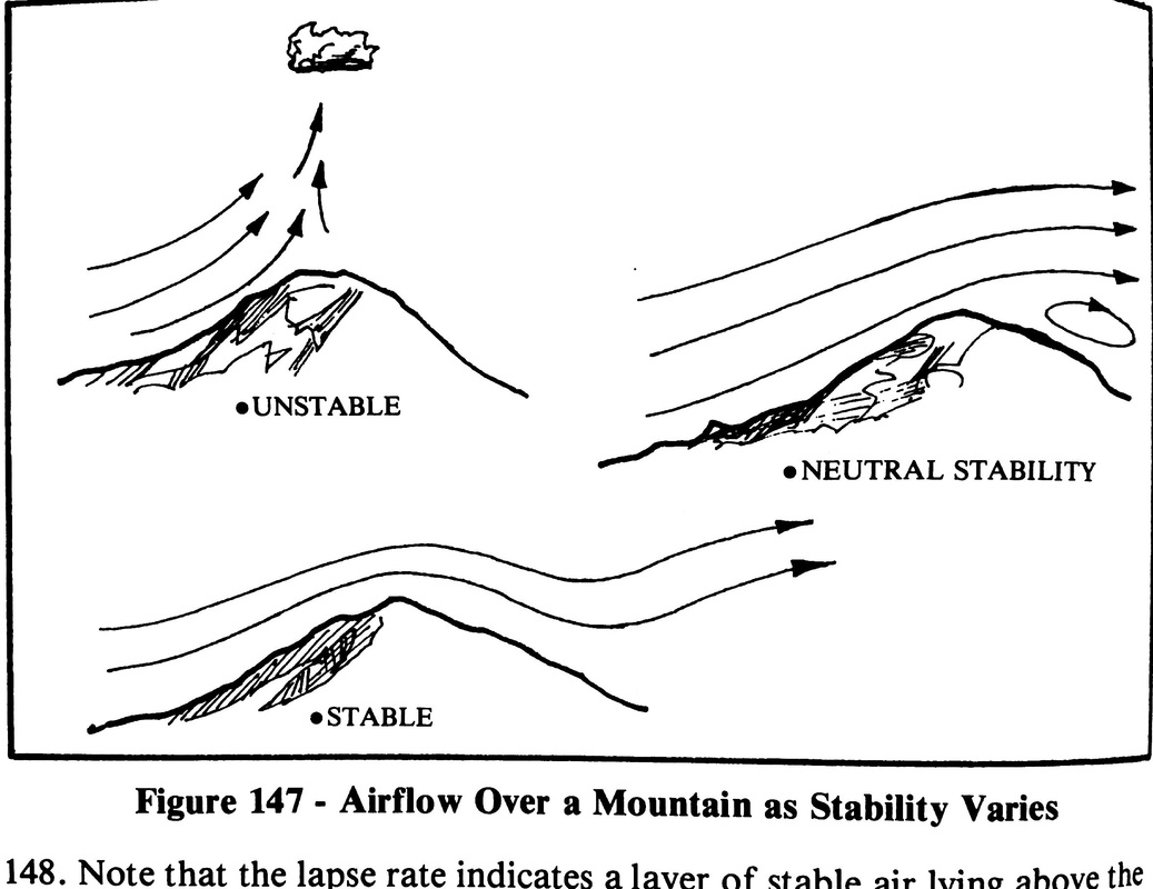
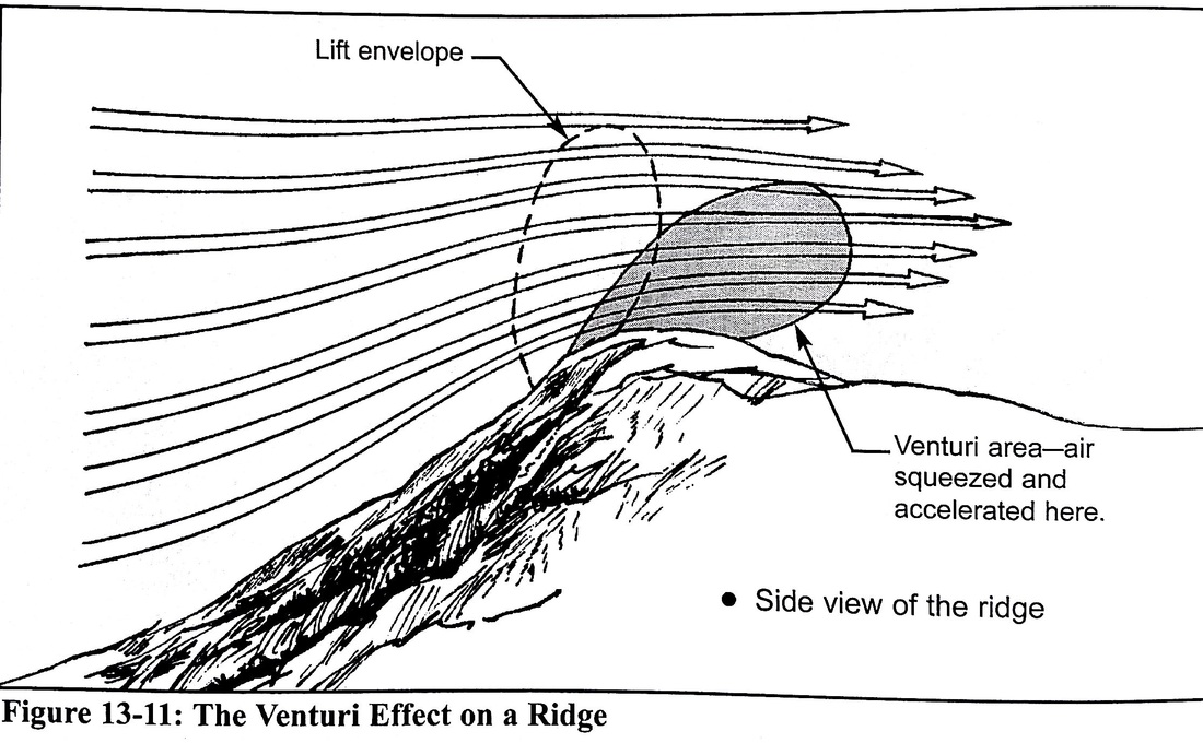
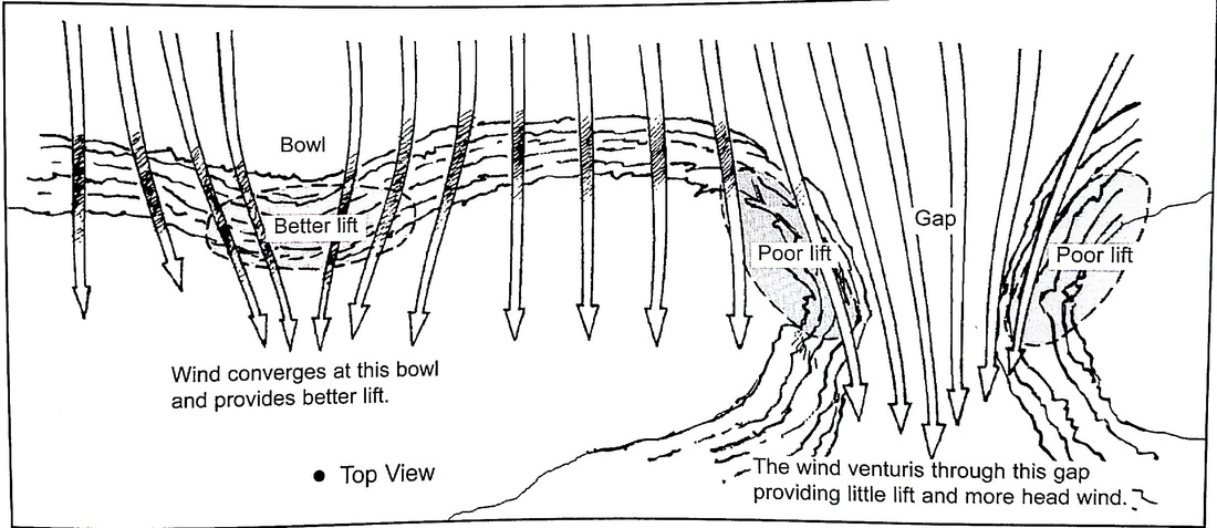
| Do not fly into the canyons at or below ridge-lines down wind/ in the lee of effective faces. Note that effective faces and thermaling / soaring envelopes (out of rotor zones) typically extend up at the same slope as the effective face. Canyon crossings should be made only with enough altitude to be able to fly from spine to spine arriving at the next spine with altitude clearance or to an effective face clear of rotor zones. Do not attempt to ridge soar deep in the canyons of Pauma / Lion Creek below 6K, there are no lading options and are known venturi locations. |  Thermaling / soaring envelopes typically extend at Slope of Face (out of rotor zones) 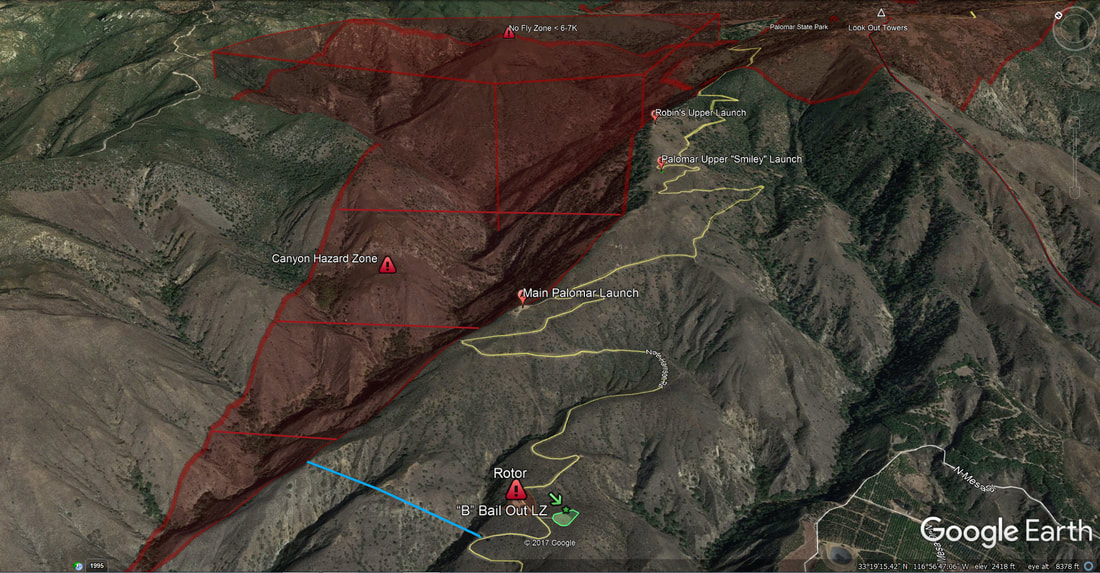 Do not fly into the canyons at or below ridge-lines or cross deep below 6K |


 RSS Feed